
When the county last updated its non-motorized trail plan in 2006, transportation planners had to sift through stacks of public surveys to find out which trails were being used.
Thanks to modern technology, updating the plan is a bit easier this time around.
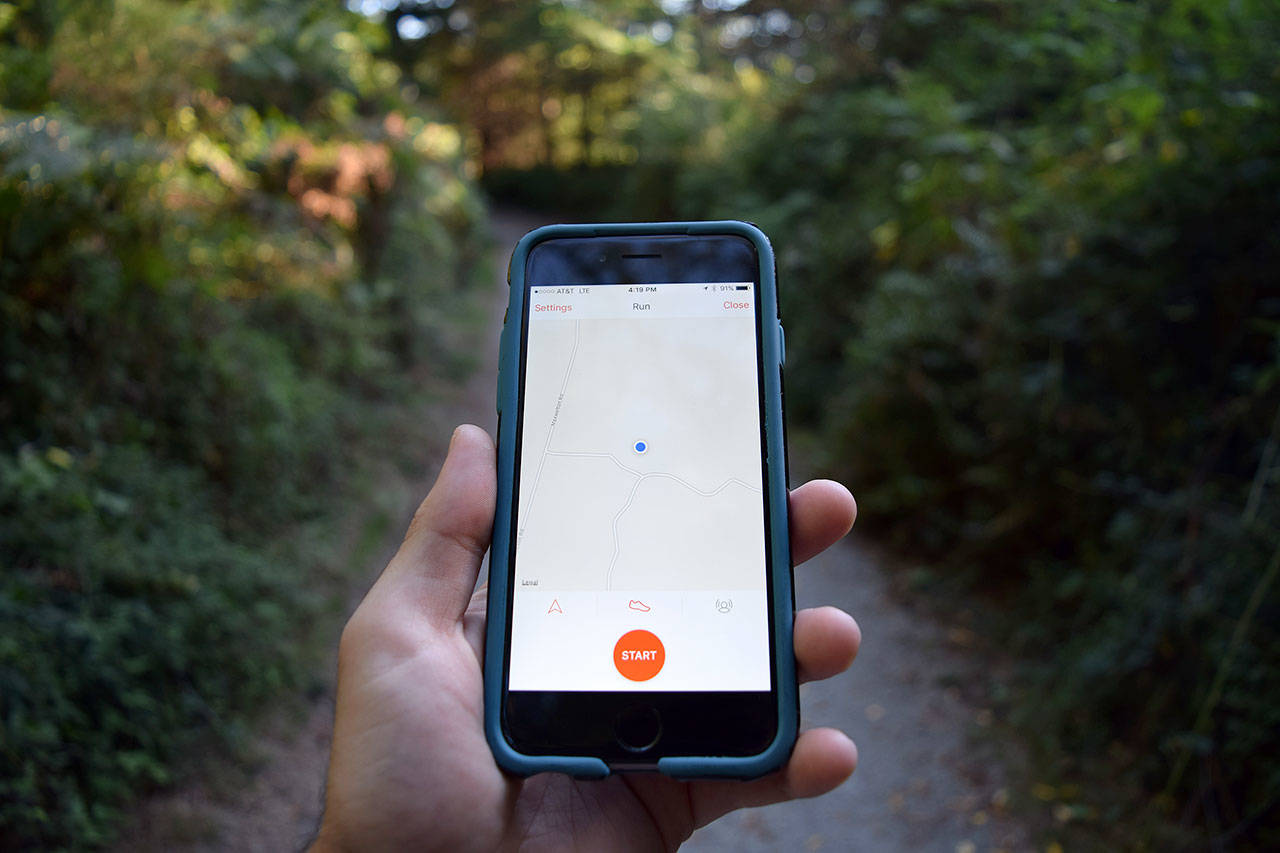
Island County Public Works is encouraging Whidbey residents to use a smartphone app, called Strava, to map their walks, hikes and bike rides as a way to provide community feedback on trail usage. Through the geographic information system (GIS) app, transportation planners have insight into which trails are being used, which might need more upkeep and why certain trails are popular.
“The data from Strava is helping to inform our non-motorized trail plan and shows where we should consider improvements in addition to the input the public has given us at meetings,” said Brian Wood, a transportation planner with Island County Public Works. “With the app, we can now look at a network and see where people are going, rather than just a physical count on a specific route that doesn’t give you the whole picture.”
Island County Public Works paid “a lump sum close to $4,200” for 2016’s data, according to Connie Bowers, assistant county engineer. She says the department plans on purchasing the information for 2017 as well.
With Strava, users build a personal profile that keeps track of where they go while biking, hiking and walking. The app also measures distance covered while on the trail and times users until they finish their route.
It was initially created as a form of social media for athletes, in which people could follow others’ exercise routines, compare times and distances of their workouts and see how professional athletes are exercising. Over time, the company realized over half of the uploaded bike rides were commutes. Strava realized this could be useful for highlighting urban planning priorities, Wood said.
Transportation departments such as the one for Island County can now visualize trail usage by looking at compiled user “heat maps” (a graphical representation of data where the individual values contained in a matrix are represented as colors). The data set is anonymous.
“This lets you look into where bicyclists or pedestrians use this road, and if you look deeper you can deduct why they went on that route,” Wood said. “People are essentially voting with their feet.”
The company is expanding the different ways the app’s GIS capabilities can be used, and Wood is hopeful Island County continues to use its data set as a resource. Wood says the app can now track kayaking and is considering doing the same for horseback riding, both of which could be useful to transportation and recreation officials on Whidbey. Yet the county might not even have to strike a deal with the tech startup.
According to Wood, the state could possibly sign a contract to use Strava’s data. The City of Seattle already “heavily” uses its statistics.
“I hope the county continues to use this information for a long time,” Wood said. “It’s a robust data set that gives us a glimpse into trail usage like never before.”
The county has been working with the San Francisco-based tech startup since last year, but is only just now in the process of updating its non-motorized trail plan. The plan is updated every 10 years.

Kyle Jensen / The Record — The app compiles data on where people are going by highlighting areas heavily used. Users can also upload their own itineraries.

