
A plea made by Ledgewood residents to the governor and state lawmakers paid off this month with a $200,000 appropriation.
The money, which comes from the state Department of Natural Resources, funded additional drilling and aerial radar mapping in the community.
The work is expected to help scientists and engineers better understand the area’s complex and unstable geology.
It may also provide clues as just what set off the massive landslide that rocked the neighborhood this past March.
Community leaders sent a letter to Gov. Jay Inslee and local legislators asking for $500,000, part of which would pay for additional geological work and the rest, $300,000, for stormwater infrastructure improvements.
According to Young, much of the credit to state Rep. Norma Smith, R-Clinton.
After receiving the letter, Smith met with Public Lands Commissioner and DNR chief Peter Goldmark.
Both agreed that additional geological efforts were warranted and money should be appropriated.
“It was the right thing to do,” Smith said.
“We’re really pleased it happened,” said Ralph Young, a water commissioner for Ledgewood.
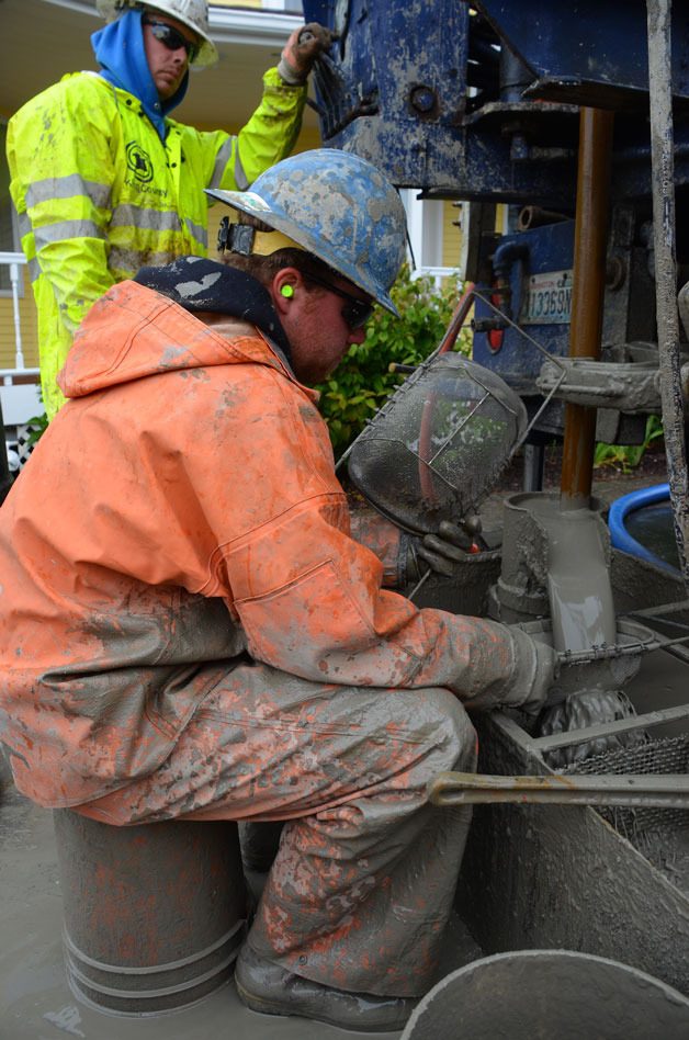
Due to the end of the fiscal year, however, the work had to be completed within a narrow two-week window, said Bill Oakes, director of Island County Public Works.
The past week was spent feverishly digging six more holes at various locations in Ledgewood and Bon Air, one of which was right in the middle of the landslide. Road crews spent two days building an access for the large drilling rig.
“It’s had three months to settle,” Oakes said. “But we found some spots that were really soupy.”
Core samples taken at the six holes will be studied along with those taken at two other sites in May. All eight holes were drilled to a depth of about 50 feet below sea level, which means those on Fircrest Avenue were about 280 feet deep.
“Hopefully, this will enable us to give residents a little better of an answer about the geology,” Oakes said.
The new funding also paid for lidar, a highly accurate topographical mapping technique that uses lasers pointed at the ground from a plane.
Oakes said lidar mapping was conducted one day after the slide occurred but this second flight revealed just how much the area has settled since the March event.
According to Oakes, the state’s help was welcome and would not have been possible with the community’s efforts.
“Thanks to the neighborhood for making this happen,” he said. “Absolutely, it was the citizens who generated this money.”
Smith said she was not successful securing funding for infrastructure improvements but vowed to continue efforts in the next biennium. There may be possibilities for loans but getting cash will be difficult.
“That’s still a bit of an unknown but I’m pleased we were able to get DNR in to finish up the geological work,” Smith said.
The county is planning to hold a community meeting at 3 p.m. Tuesday, July 9 at the Coupeville Recreation Hall.
The county’s hired geotechnical firm will be on hand to answer questions from the public.

